Navigating Brasília requires understanding its sprawling layout and utilizing available transportation options.
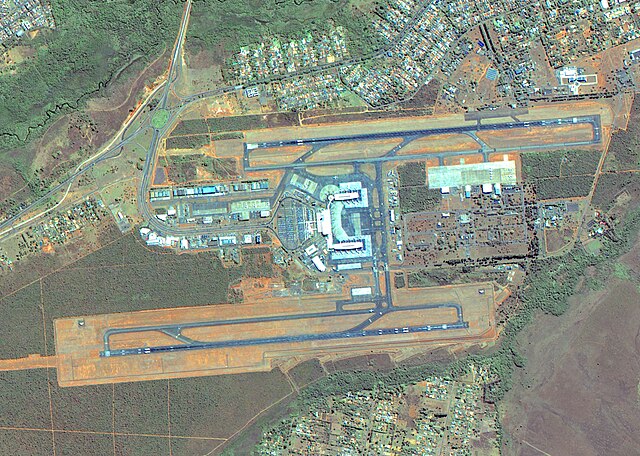
The main international gateway located 11 kilometers south of the city center. The airport handles domestic and international flights with modern facilities. Transportation connections to the city include taxis, ride-sharing, and shuttle services.
Tips for Transportation
- Download local transportation apps (Moovit, Google Maps) for real-time route planning
- Purchase transportation cards at convenient locations for seamless bus travel
- Avoid peak hours (7-9 AM, 5-7 PM) for car rental if possible
- Book ride-sharing services through official apps for safety
- Distances between attractions may require transportation planning